
For the second time ICAN and CoastGIS were held in the same venue one meeting after the other. CoastGIS 2013, the 11th International Symposium for GIS and Computer Cartography for Coastal Zone Management was held immediately after ICAN 6 as ICAN 5 was held before CoastGIS 2011 in Ostende, Belgium.
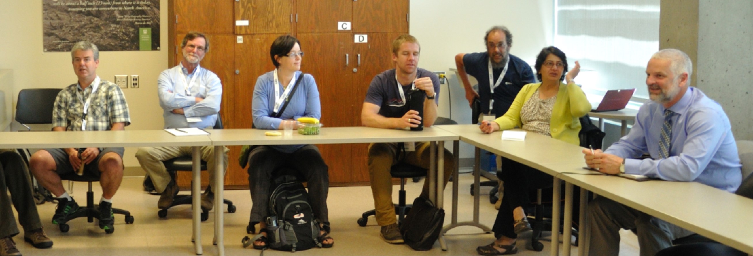
co-founder of the CoastGIS series Darius Bartlett (third from the right)
 Many ICAN 6 participants stayed on in Victoria to contribute to the CoastGIS conference. Rosaline Canessa and Andrew Sherin, CoastGIS 2013 Co-chairs, were ICAN 6 participants. Andrew delivered three papers, and a poster and organized the workshop on “LiDAR Data Accessibility” at CoastGIS. As Adam mentioned in ICAN Technicalities, David Hart and Tanya Haddad presented a workshop entitled “Interoperable Web Services for Adaptive Coastal Management”
Dawn Wright, ICAN co-founder and Steering Group member, prepared a video keynote presentation for CoastGIS “Everyone Loves a Story, Even Policy Makers” that is viewable on the CoastGIS website http://coinatlantic.ca/index.php/program/program
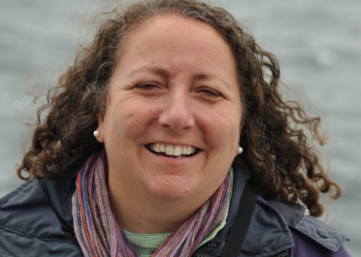
Dr. Rosaline Canessa, Department of Geography, University of Victoria and Co-Chair, CoastGIS 2013
Other ICAN 6 participants that presented at CoastGIS 2103 included Andy Lanier, Robert Branton, Caroline García Valencia, Andrus Meiner, William McClintock, Julian Pizarro, Kathrin Kopke, Lucy Scott, Tanya Haddad, Todd Hallenback, Liz O’Dea, Ned Dwyer, Yassine Lassoued, Simon Claus, and Silvia Sartor.
A session on Coastal Atlases at CoastGIS 2013 included presentations on the African Coastal and Marine Atlas, the Oregon Coastal Atlas, the Washington Coastal Atlas, Tools and Best Practices for Coastal Web Maps and SmartAtlas.
ICAN 7 will be held in conjunction with CoastGIS 2015 that is planned to be held in South Africa tentatively in April 2015.