
 Mr. Ali al-Othman, SmartAtlas developer at the Coastal and Marine Research Centre of University College Cork, Ireland spent one week in September 2014 at the offices of the CPPS (Comisión Permanente del Pacífico Sur) in Guayaquil, Ecuador, from where the SPINCAM project is co-ordinated. Ali worked closely with Mr. Steve Erique and other CPPS staff on demonstrating recent upgrades to the SmartAtlas, web-GIS system including a Spanish language interface and map print functionality. SmartAtlas is being used to implement the SPINCAM regional atlas. Work also took place on integrating the SIBIMAP database - an information system on marine biodiversity and protected areas in the southeast Pacific – with SmartAtlas. SmartAtlas is an opensource development and is available for use by ICAN members. Contact Esta dirección de correo electrónico está siendo protegida contra los robots de spam. Necesita tener JavaScript habilitado para poder verlo. for further details.
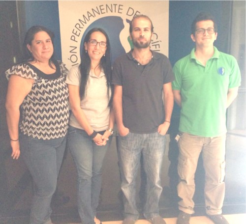
From left to right, Ms. Monica Machuca (Biologist, currently working as an intern in CPPS, supporting the implementation of new layers for the SPINCAM project), Ms. Veronica Avila, (Assistant for the CPPS's Regional Action Plan for the South East Pacific Office). Mr. Ali al-Othman (Computer Scientist and SmartAtlas Developer, CMRC ) and Mr. Steve Erique (IT System Developer and SPINCAM regional atlas coordinator, CPPS).