
COINAtlantic has released version 1 of an Atlas for the harbour of Sydney, Nova Scotia, Canada. The Atlas is built on a customized version of COINAtlantic’s Search Utility and displays map layers served from several OGC compliant web mapping services including COINAtlantic’s own WMS service of the data stored in the OBIS Canada Information Publication Tool, and other web mapping services provided by the Province of Nova Scotia and the Government of Canada. The Atlas is intended to display spatial data relevant to an urbanized coastal ecosystem.
The Atlas can viewed at:
http://coinatlantic.tools/csu/?mapset=sydney_harbour
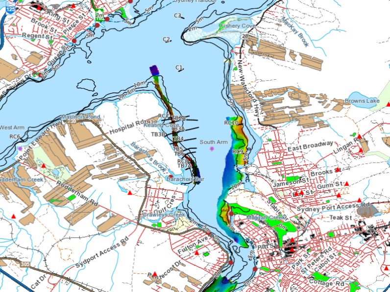
Sample map from the Sydney Harbour Atlas with a partial legend