International

ICAN is a project of UNESCO IOC´s IODE Programme, and ICAN members seek to play a leadership role in forging international collaborations of value to the participating nations, thereby optimizing regional governance in coastal zone management and marine spatial planning.

Coastal

We live on a blue planet, with oceans and seas that cover more than 70% of the Earth's surface. The oceans feed us, regulate our climate, and generate most of the oxygen we breathe. Approximately 37% of the world's population lives within 100 km of the coast. (UNEP)

Atlas

CWAs are "...collections of digital maps and datasets with supplementary tables, illustrations, & information that systematically illustrate the coast, oftentimes with cartographic & decision support tools, all of which are accessible via the Internet."  O'Dea et al., 2007

Network

Membership in ICAN is open to all interested parties who agree to the mission & objectives of ICAN, including those with an operational coastal web atlas, as well as those hoping to design and build a coastal web atlas in the future.

Join us!

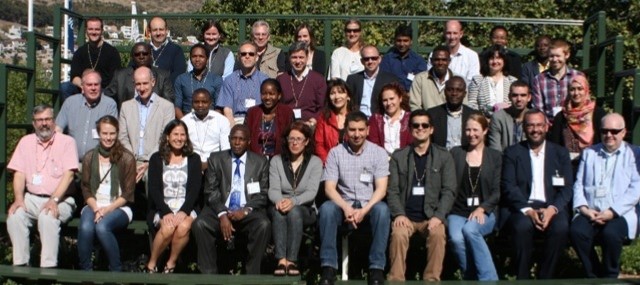
The 7th workshop for the International Coastal Atlas Network was held in Cape Town, South Africa on 19-20 April 2015. The focus was presentations on the theme Coastal Web Atlases – Supporting Ecosystem Based Management with a special emphasis on ICAN activities in Africa.

 
Participants at ICAN 7 in Cape Town, South Africa


Two mini-workshops were also held:

  • Connecting Atlases – Implementing Semantic Interoperability and Data Accessibility Self-Assessment, and

  • Interacting with Users


The 2nd Session of the ICAN Steering Group for IODE was held after the workshop. The final report from ICAN 7 will appear in the next issue of this newsletter.


A view of Cape Town looking south across Table Bay. Photo: A. Sherin

  For our Coasts