New Educational and Interactive Tool Highlights New York’s Diverse Land and Offshore Resources
- Detalles
- Publicado: 05 Diciembre 2015 05 Diciembre 2015
Jeff Herter at Esta dirección de correo electrónico está siendo protegida contra los robots de spam. Necesita tener JavaScript habilitado para poder verlo.
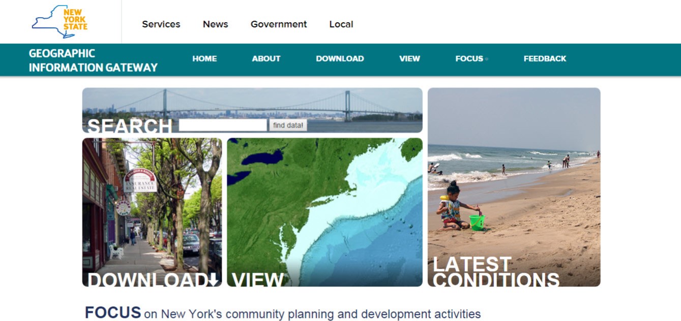
The New York Department of State today launched an educational and user-friendly website that identifies New York’s diverse land and offshore assets so residents, local governments, educators, businesses and others can use this information when making planning and development decisions. The website provides the public access to free and reliable geographic data, real-time information, interactive tools, and expert knowledge on New York’s resources, including climate change and community resilience activities.
The announcement comes during Climate Week, which Governor Cuomo proclaimed from September 22-29 to raise awareness about the challenges we face with a changing climate and to highlight New York’s actions to increase resiliency and curb emissions as global leaders meet in New York City this week.
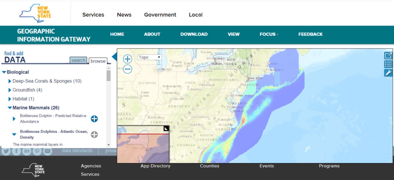
The website, the Geographic Information Gateway, or the Gateway, features state-of-the-art map viewing and contains cutting-edge interactive stories that highlight case studies, showcases community success stories, and illustrates how geographic information is collected, analyzed and used to improve planning and decision-making. The site also includes information on the potential effects of climate change and New York State’s proactive work with local governments to advance planning efforts that would ensure communities are prepared for severe weather events and sea-level rise.
Quotes
- “Now local governments and businesses have a user-friendly and comprehensive tool to identify important geographic information on the state’s water resources that will assist them in their planning decisions,” said New York Secretary of State Cesar A. Perales. “Our State’s economy, in part, is tied to its ocean, lakes and waterways, assets that provide countless commercial and economic opportunities for New Yorkers, as well as recreational opportunities for both residents and tourists.”
- “This new website identifies, categorizes and organizes New York State’s resources to aid a variety of audiences when planning and developing for the future,” stated Sandra Allen, Deputy Secretary of State, who oversees the Office of Planning and Development. “Users have access to the State’s planning and development activities, as well as guidance on resilience measures to protect us against storms, hurricanes and other natural disasters, which is one of the Governor’s top priorities.”
- “This new website identifies, categorizes and organizes New York State’s resources to aid a variety of audiences when planning and developing for the future,” stated Sandra Allen, Deputy Secretary of State, who oversees the Office of Planning and Development. “Users have access to the State’s planning and development activities, as well as guidance on resilience measures to protect us against storms, hurricanes and other natural disasters, which is one of the Governor’s top priorities.”
Audience
A variety of audiences and constituencies can benefit from the easily accessible information that is readily available on the Gateway:
-
Residents
- Determine if they live in an area susceptible to flooding by viewing Coastal Risk Areas in the map viewer.
- Find real-time information across the State describing beach conditions, tide levels, and coastal wind speeds and direction.
- Determine whether their community participated in the NY Rising Community Reconstruction program and access community reconstruction plans to better understand the implications of the plan to their daily lives.
- Determine if they live in an area susceptible to flooding by viewing Coastal Risk Areas in the map viewer.
-
Business Owners/Investors/Entrepreneurs
- Use the map viewer to quickly identify the Regional Economic Development Council (REDC) area of interest and access relevant REDC plans to understand how their activities relate to regional goals and strategies.
- View and download data that show the distribution of existing ocean uses and natural resources to help offshore wind developers anticipate and avoid conflicts and select the most appropriate areas for project development.
- Get-up to speed on New York State’s offshore wind planning efforts by reading the interactive story and reports available on the Atlantic Ocean page.
- Use the map viewer to quickly identify the Regional Economic Development Council (REDC) area of interest and access relevant REDC plans to understand how their activities relate to regional goals and strategies.
-
Local Governments
- Determine the level of flood risk a municipality or locale may face by viewing the Coastal Risk Areas overlaid on a satellite base map.
- Learn about the State’s resilience planning and explore nature-based approaches to managing shoreline erosion by reading interactive stories on the Climate Change and Resilience page.
- Learn about the resources and programs offered by the New York Department of State’s Office of Planning and Development to support community and regional resilience activities.
- Determine the level of flood risk a municipality or locale may face by viewing the Coastal Risk Areas overlaid on a satellite base map.
-
Educators
- Use the content and functionality provided by the Gateway to develop interactive lesson plans, such as demonstrating the potential effects of sea level rise on their students’ school, community and region.
- Explore different adaptive measures to address the future challenges of sea level rise and introduce their students to unique deep-sea life by exploring the submarine canyons found offshore New York.
- Use the content and functionality provided by the Gateway to develop interactive lesson plans, such as demonstrating the potential effects of sea level rise on their students’ school, community and region.
Benefits
Other benefits offered by the Gateway include:
- A user-friendly interface that increases government transparency by providing public access to geographic information.
- Enables the public to view and download over 400 datasets related to the Atlantic Ocean and community resilience planning activities, including all the data presented in the New York Department of State Offshore Atlantic Ocean Study.
- Custom-built stories that help visitors interactively explore and understand a diversity of topics, from offshore wind planning activities to the development and application of coastal risk areas to support community resilience planning.
- Real-time updates to facilitate data sharing between local, state, regional and federal partners and serves as a central platform hosting DOS’s state, regional and federal partner’s geographic data.
The Office of Planning and Development has held webinars in October to introduce users to the Gateway and familiarize them with the site’s many capabilities.
COINAtlantic introduces a new version of its GeoContent Generator (CGG)
- Detalles
- Publicado: 15 Marzo 2015 15 Marzo 2015
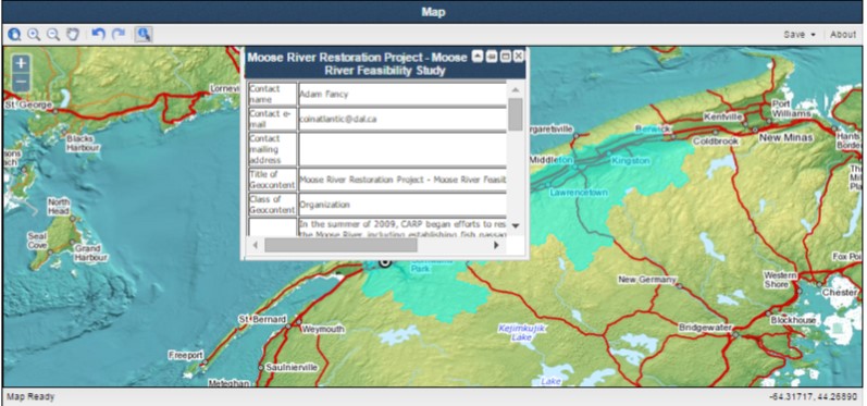
The CGG is a web-based tool for capturing basic metadata on an organization, project, publication or data set, links it to a spatial entity (i.e. polygon, line, or point), creates a KML file and facilitates its discovery on the internet by the Google search engine. The new version replaces the sequential process with a tab based interface that allows the user to easily move back and forth through the steps. It also makes more prominent the spatial entity capture step with the map always visible in the interface.
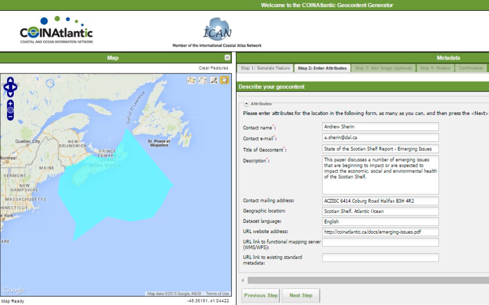
Other enhancements include the capability of entering a specific latitude and longitude coordinate as the spatial entity and uploading photographs to be included in the KML file. The CGG was designed to provide small organizations with a capability of making their data and information more visible on the internet. The CGG works together with the COINAtlantic Search Utility (CSU) that searches the internet for WMS and KML spatial data resources, including the KML’s built with the CGG and displays these resources on an interactive map. The CGG is available at http://www.marinebiodiversity.ca/coin/cgg/ and the CSU at http://www.marinebiodiversity.ca/coin/csu/