
ICAN supports ACMA migration to GeoNode
- Detalles
- Publicado: 21 Enero 2019 21 Enero 2019
 The African Coastal and Marine Atlas (ACMA) editorial team supported by Greg Reed from IODE, Tanya Haddad, ICAN Technical team, and Carlos Oliveros from the Caribbean Marine Atlas, held a meeting in November 2017 to discuss the migration of ACMA to a new content management system using the open source software GeoNode. As this new system would be more functional and sustainable for marine spatial planning than the existing ACMA, the Marine Spatial Management and Governance Project (MARISMA) supported the development of GeoNode for the Benguela Current Convention and its member states (Angola, Namibia and South Africa), using the data layers from ACMA as baseline and additional relevant national/regional spatial data.
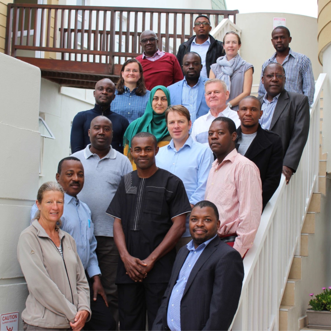
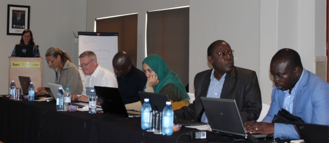
From 12 to 16 March 2018 MARISMA together with IOC/Africa hosted a GeoNode workshop in Swakopmund, Namibia. The objective of the workshop was to start with the migration of the African Coastal and Marine Atlas to the new GeoNode platform. Greg Reed and Tanya Haddad joined participants from Angola, Côte d’Ivoire, Kenya, Madagascar, Namibia, Nigeria and Tunisia to provide training and advice. After installing GeoNode on all laptops, the first two days were spent on training and customizing the look and feel of GeoNode. During the remaining three days participants uploaded and standardized their country and region layers.
The Ecosystem Advisory Committee of the Benguela Current Convention (BCC) has approved the request to host GeoNode by the BCC Secretariat for the member states. In 2019 the data and information of the Current Status Report, compiled by the Namibian MSP National Working Group and MARISMA as well as relevant data and information compiled by the Angolan MSP Working Group will be uploaded and made available online.
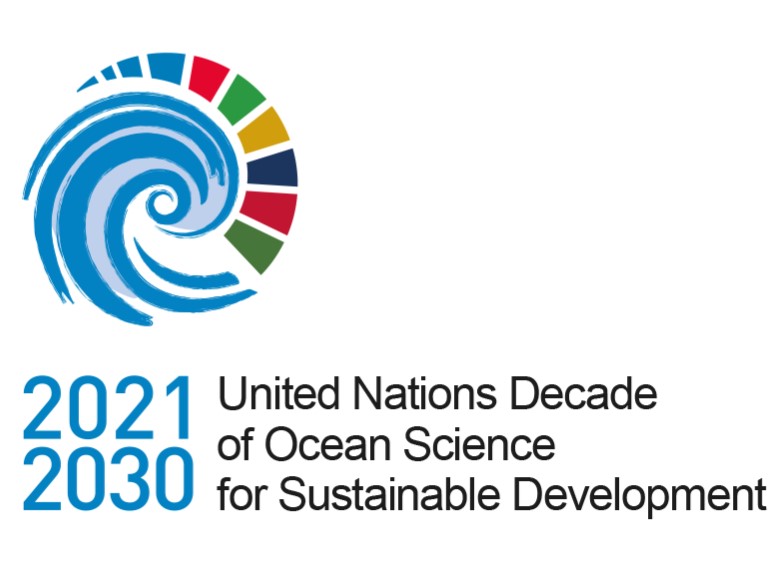
United Nations Decade of Ocean Science for Sustainable Development
- Detalles
- Publicado: 18 Enero 2019 18 Enero 2019
 What is the UN Decade of Ocean Science?
The United Nations Decade of Ocean Science for Sustainable Development (2021-2030) is an initiative launched by the UN in December 2017. It seeks to drawn attention to the importance of ocean science data and information in the management decisions that will help the world make progress to the 2030 Sustainable Development Goals (SDGs), particularly Goal 14 – the ocean sustainability goal. The Decade will start in 2021, and planning for the decade will occur in the 2018-2020 time period. The IOC has been tasked by the UN General Assembly to work with all interested stakeholders to design a “Decade of Ocean Science” that will help us to deliver the ocean we need for the future we want.
What is the aim of the Decade of Ocean Science?
The objective of the Decade is to strengthen the international cooperation needed to develop the scientific research and innovative technologies that can connect ocean science with the needs of society, and to support countries in achieving the 2030 Agenda for Sustainable Development. The Decade will require the engagement of many different stakeholders to create new ideas, solutions, partnerships and applications, these include: scientists, governments, academics, policy makers, business, industry and civil society.
What will the Ocean Decade focus on as Research & Development Priority Areas?
The Decade will provide a framework for achieving a number of high level outcomes, clustered around:
- a comprehensive digital atlas of the world
- a comprehensive ocean observing system for all major basins
- a quantitative understanding of ocean ecosystems and their functioning as the basis for their management and adaptation
- a data and information portal supporting the decade outcomes
- an integrated multi-hazard warning system
- an ocean in earth-system observation, research and prediction, supported by social and human sciences and economic valuation
- capacity building and accelerated technology transfer, training and education, and ocean literacy
How will the Decade of Ocean Science achieve its goals?
The Decade is embracing a participative process so that scientists, policy makers, managers, and service users can work together to ensure that ocean science delivers greater benefits for both the ocean ecosystem and for society. A two way process is envisioned (top down and bottom-up): the objectives and outcomes will be agreed globally and every group and region of the world will support them. The bottom-up process will be established so as to allow for the regional or even local definition of these outcomes and objectives, with the formulation of scientific products, activities and partnerships that could be proposed in the context of the Decade.
Overall the Decade will mobilize resources towards:
- TRANSFORMING - knowledge systems to support sustainable development
- BOLSTERING - ocean observing and data systems
- MEASURING - cumulative impacts for effective solutions
- DELIVERING - best available knowledge to decision-makers
- REDUCING - vulnerability to ocean and coastal hazards
- ACCELERATING - transfer of marine technology, training and education
What Does the Ocean Decade Mean For You?
The success of the Decade will rely on the contributions of many different stakeholders including scientists, policy-makers, civil society, funders and the private sector. It will support a new cooperative framework to ensure that global ocean science provides greater benefits for ocean ecosystems and wider society. One hoped for outcome will be improvements in alignment between investments and high impact ocean science connections to management. Another is that the Decade will open up access to tools, information and investment needed to create solutions for ocean sustainability.
How can you help?
During the planning phase (right now!) of the Decade a call for inputs and contributions towards the planning phase of the Decade will be launched including opportunities to:
- Contribute to the Planning Process by submitting ideas or participate in Decade dedicated workshops and / or host and organize events.
- Consult stakeholders, communicate about the Decade and identify opportunities for investment and resource mobilization.
- Provide staff and/or financial support.
- Help the IOC and its preparatory activities.
- Communicate about the Decade by sharing the purpose and expected results of the Decade, its planning phase and preparatory activities.