 The African Coastal and Marine Atlas (ACMA) editorial team supported by Greg Reed from IODE, Tanya Haddad, ICAN Technical team, and Carlos Oliveros from the Caribbean Marine Atlas, held a meeting in November 2017 to discuss the migration of ACMA to a new content management system using the open source software GeoNode. As this new system would be more functional and sustainable for marine spatial planning than the existing ACMA, the Marine Spatial Management and Governance Project (MARISMA) supported the development of GeoNode for the Benguela Current Convention and its member states (Angola, Namibia and South Africa), using the data layers from ACMA as baseline and additional relevant national/regional spatial data.
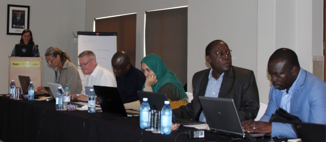
From 12 to 16 March 2018 MARISMA together with IOC/Africa hosted a GeoNode workshop in Swakopmund, Namibia. The objective of the workshop was to start with the migration of the African Coastal and Marine Atlas to the new GeoNode platform. Greg Reed and Tanya Haddad joined participants from Angola, Côte d’Ivoire, Kenya, Madagascar, Namibia, Nigeria and Tunisia to provide training and advice. After installing GeoNode on all laptops, the first two days were spent on training and customizing the look and feel of GeoNode. During the remaining three days participants uploaded and standardized their country and region layers.
The Ecosystem Advisory Committee of the Benguela Current Convention (BCC) has approved the request to host GeoNode by the BCC Secretariat for the member states. In 2019 the data and information of the Current Status Report, compiled by the Namibian MSP National Working Group and MARISMA as well as relevant data and information compiled by the Angolan MSP Working Group will be uploaded and made available online.

